I went to the Puente Espinaza this week for the first time. Been to a few locations nearby but never actually went to the bridge.

4 Likes
When are they ever going to finish building this bridge ! ![]() … it’s been around since ‘Bullets Don’t Argue’ and ‘Texas Adios’
… it’s been around since ‘Bullets Don’t Argue’ and ‘Texas Adios’
4 Likes
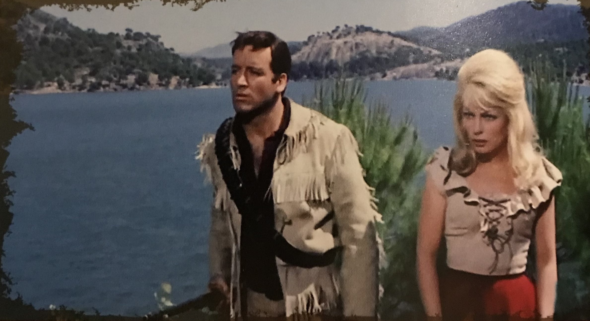
This is me, about 15 years ago. I visited the exterior of the Stevens homestead (The Good, The Bad & The Ugly), in Almeria, Spain, where ‘Angel Eyes’ (Lee Van Cleef) makes his first appearance.
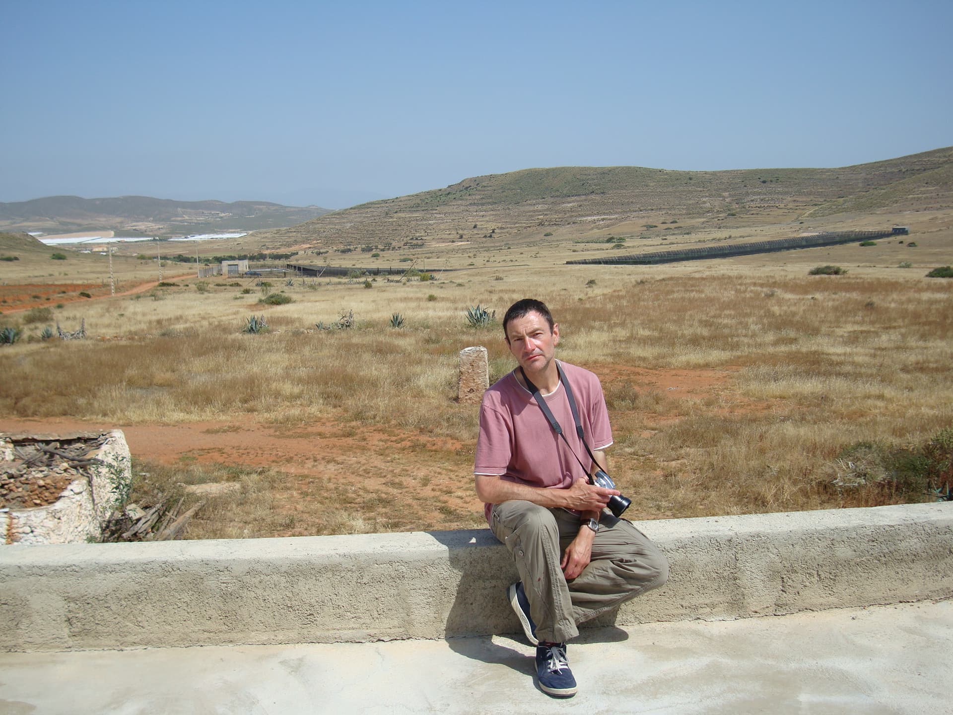
It turned out to be my last visit to Almeria…
The People who were staying at the property, very kindly said that I could sit on the top level of the property, to have my pic taken. The property was being renovated at the time, so it was great to have a different perspective on the classic scene from ‘GBU’.
The kindly folk even provided me with orange juice, and let me use their toilet…
So I can literally say that I used the ‘Steven’s Farmstead’ convenience…
A scene from ‘Patton’ (1970), was also filmed here, as well as segments from ‘Run Man Run’.
After this location, it is only at short walk to ‘El Cortijo del Fraile’, which served as Indio’s hideout in ‘For a Few Dollars More’, and the exterior monastery in the ‘GBU’. I spent four hours there, taking pics.
Can you imagine Lee Van Cleef riding in from the background behind me?

5 Likes
Nice photo, Toscano … opening scenes of ‘Silver Saddle’ (1978) also shot here … plus, I’ve scampered about the area on a few visits, photographing like mad, but never had the cheek to get up on the roof ! ![]() Very good angle.
Very good angle.
1 Like
It’s crazy how much the almeria desert has changed since these films were made… at least there’s no roads/greenhouses in this one like in a lot of almeria locations today… a stark reminder of how long it’s been since these films are made.
1 Like
I must disagree … having been there on 8 visits - The coastal areas have the plastic greenhouses, but not too far inland where most of the iconic scenes were filmed remain very much as they were albeit for some power lines and a modern motorway … have you actually been in the area?
No, I haven’t… but I’ve seen quite a few picture, which I think are better for comparison as you’re comparing like with like… I have no doubt it still gives you that SW feel though and I hope to visit soon ![]() … it is still very sad to see all those greenhouses, it’s even in T’s picture now that I look closer… but in a way it’s also indicative of how timeless these films are, to see how the world has changed, yet these films still have enough of an audience for countless remasters and rereleases. True art always stands the test of time.
… it is still very sad to see all those greenhouses, it’s even in T’s picture now that I look closer… but in a way it’s also indicative of how timeless these films are, to see how the world has changed, yet these films still have enough of an audience for countless remasters and rereleases. True art always stands the test of time.
Thought so … and your response is nonsense.
Say’s the one who thinks comparing a film to reality is a more apt comparison than to a picture ![]()
![]()
![]()
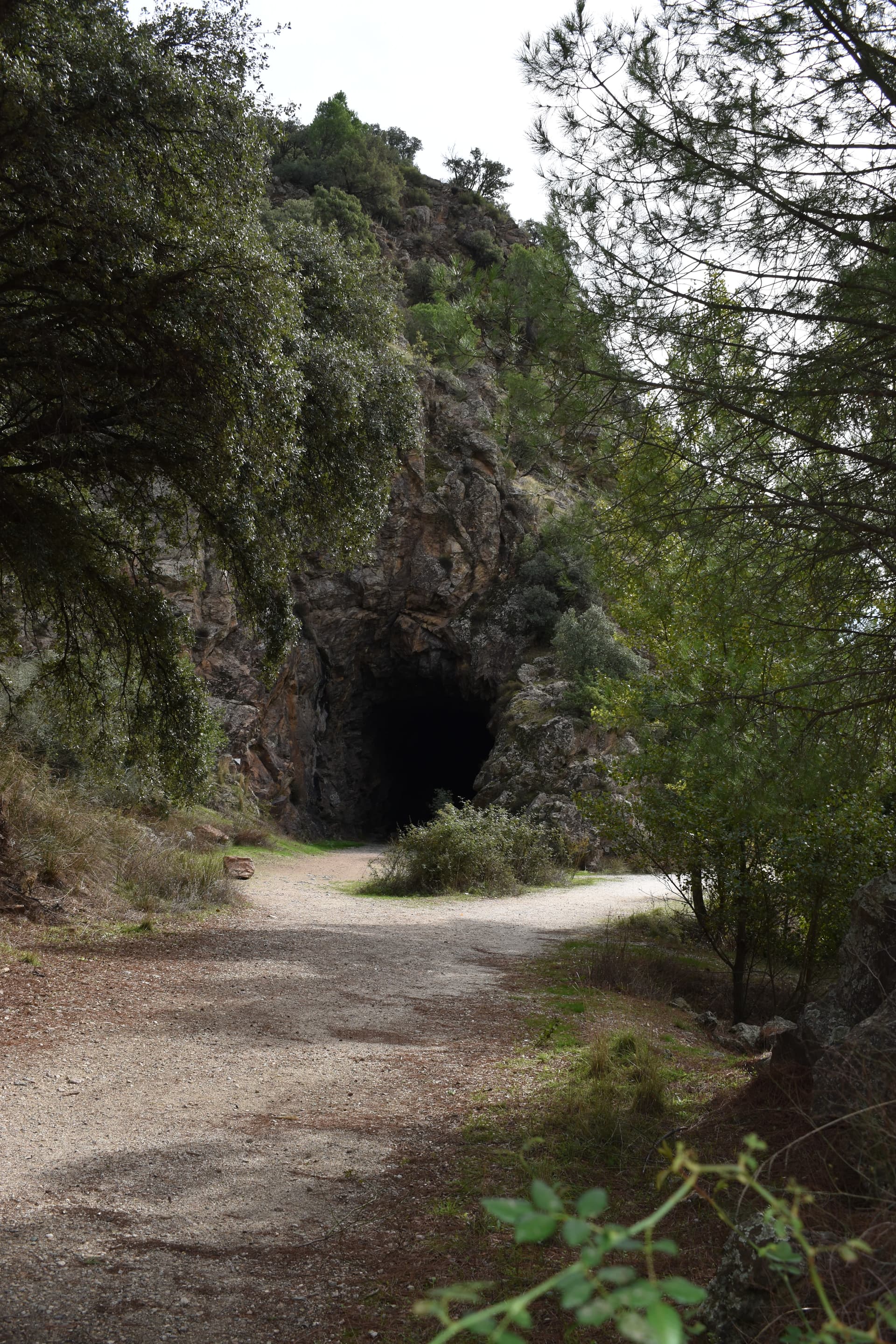
Some photos from a circular hike yesterday starting and ending at the Repsol Station A92/Tabernas exit, taking in GBU viewpoint & las Salinas before heading north round the hills to go under the A92 via a tunnel. Stunning scenery as always. If anybody wants the GPX file let me know
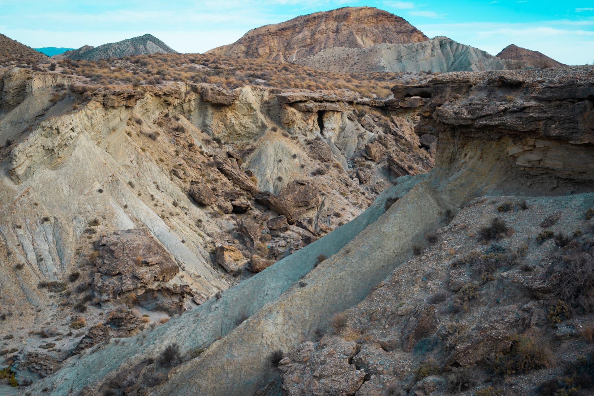
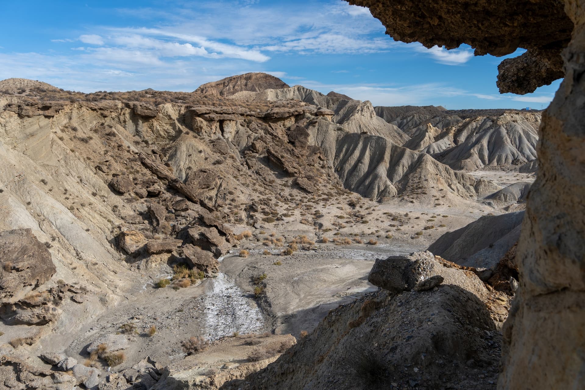
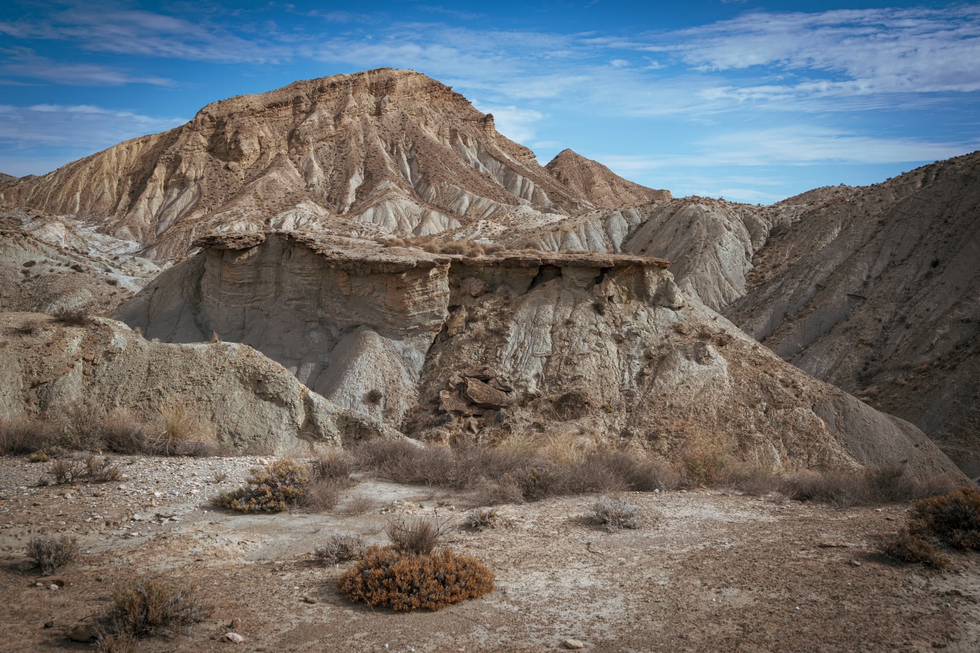
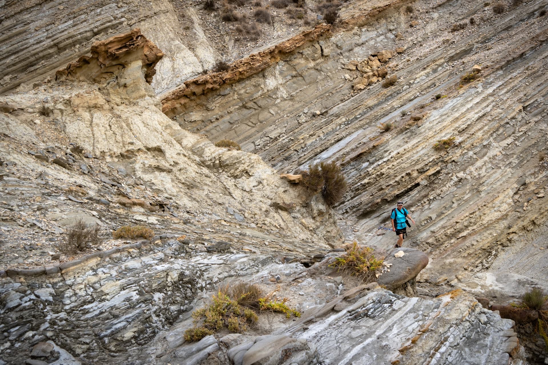
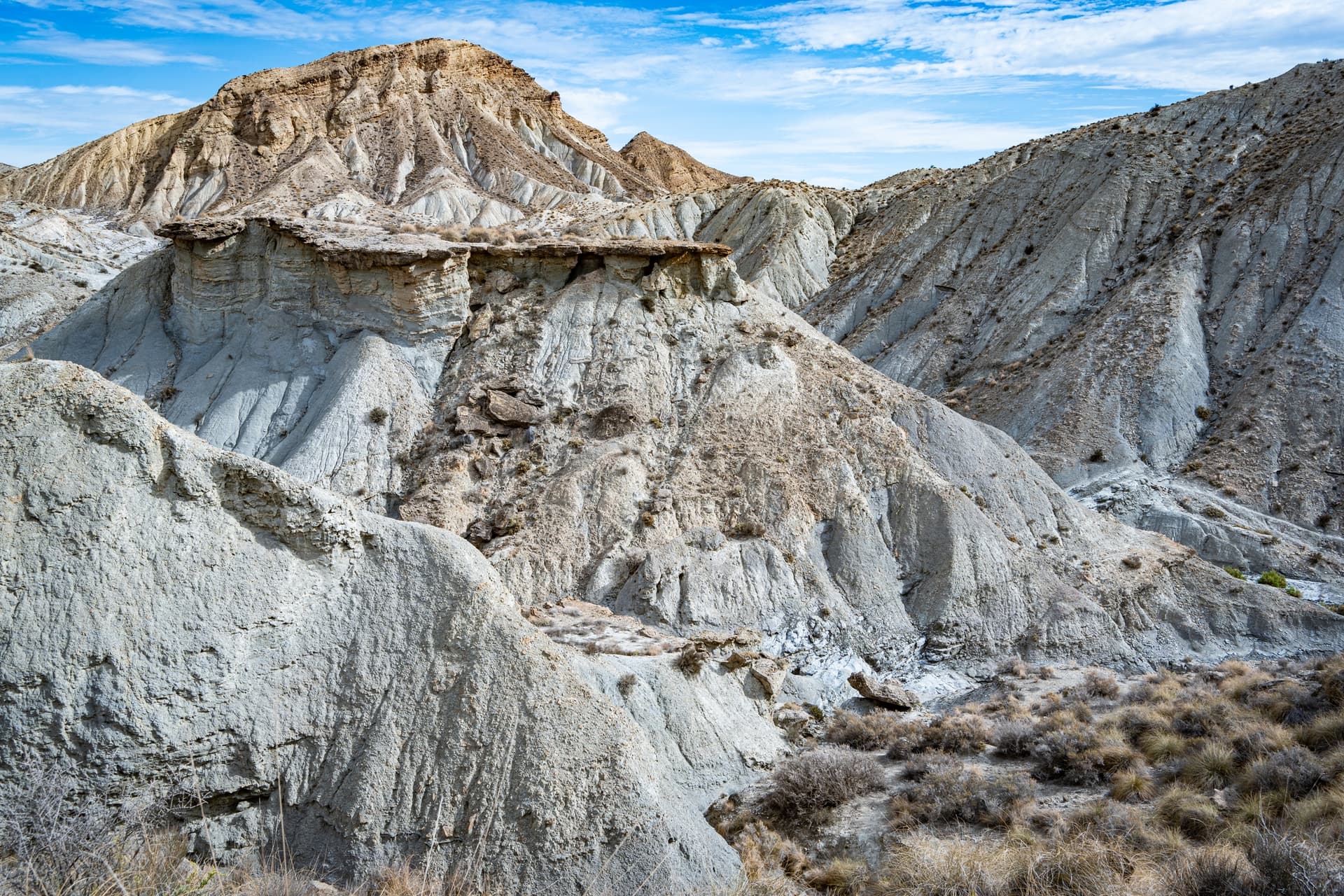
7 Likes
Fantastic pics, amigo
1 Like
Three Reservoirs and a Monastery
Here are some recent photos from around Pelayos de la Presa.
Embalse del Burguillo (Kill them all and come back alone)
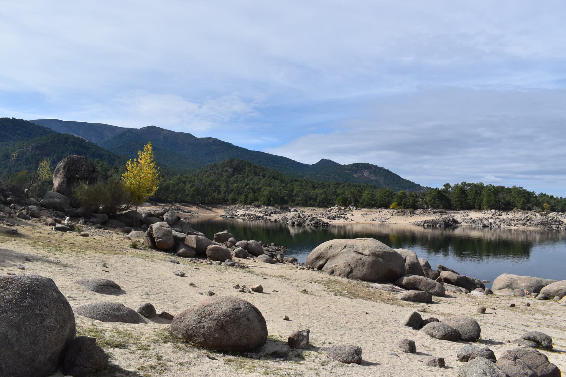
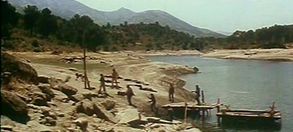
Embalse de San Juan (Rebels in Canada)
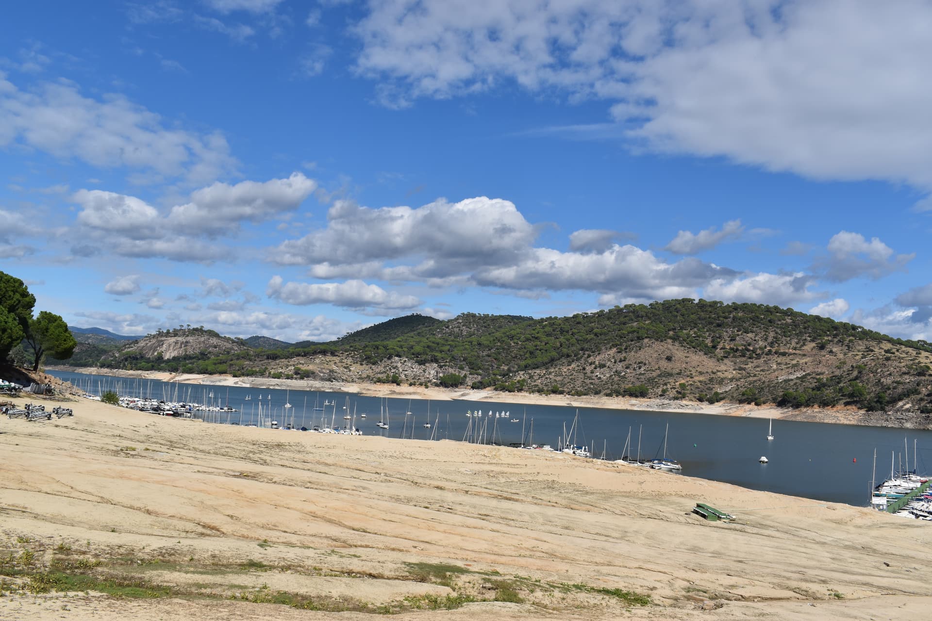
Embalse de Picadas (Companeros)
Monasterio de Pelayos (Santa María la Real de Valdeiglesias) (Companeros)

10 Likes
Excellent comparisons - Cheers!
1 Like
Great stuff. Thanks for sharing these
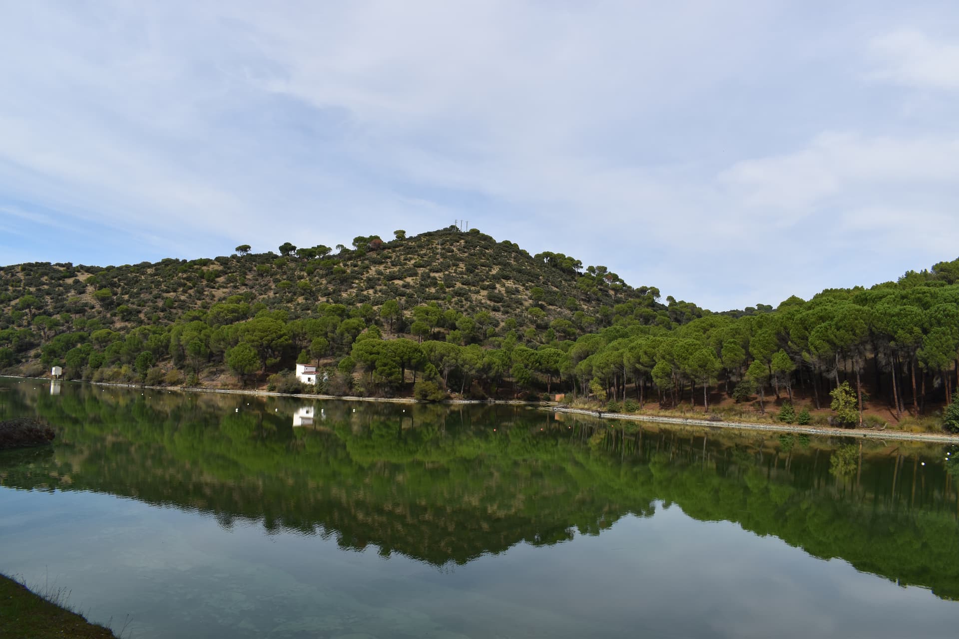
Just been out on a loop hiking around the Repsol Station. 10km, 4 hours. Just magnificent. We have just had 3 weeks of rain so the desert was as green as I can remember it
6 Likes
Does look very green
Great pics though.
a relative just came back from Monument Valley, I will post a few of his pictures shortly
2 Likes
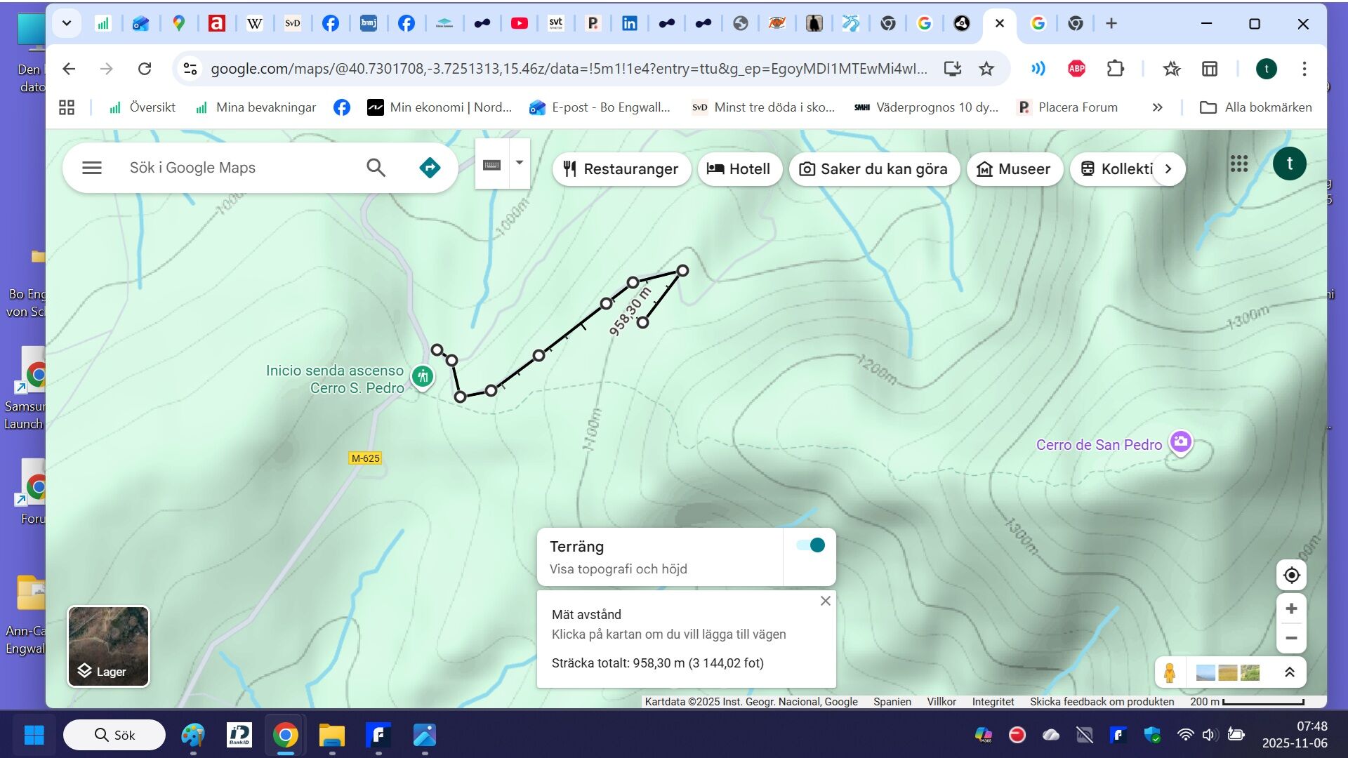
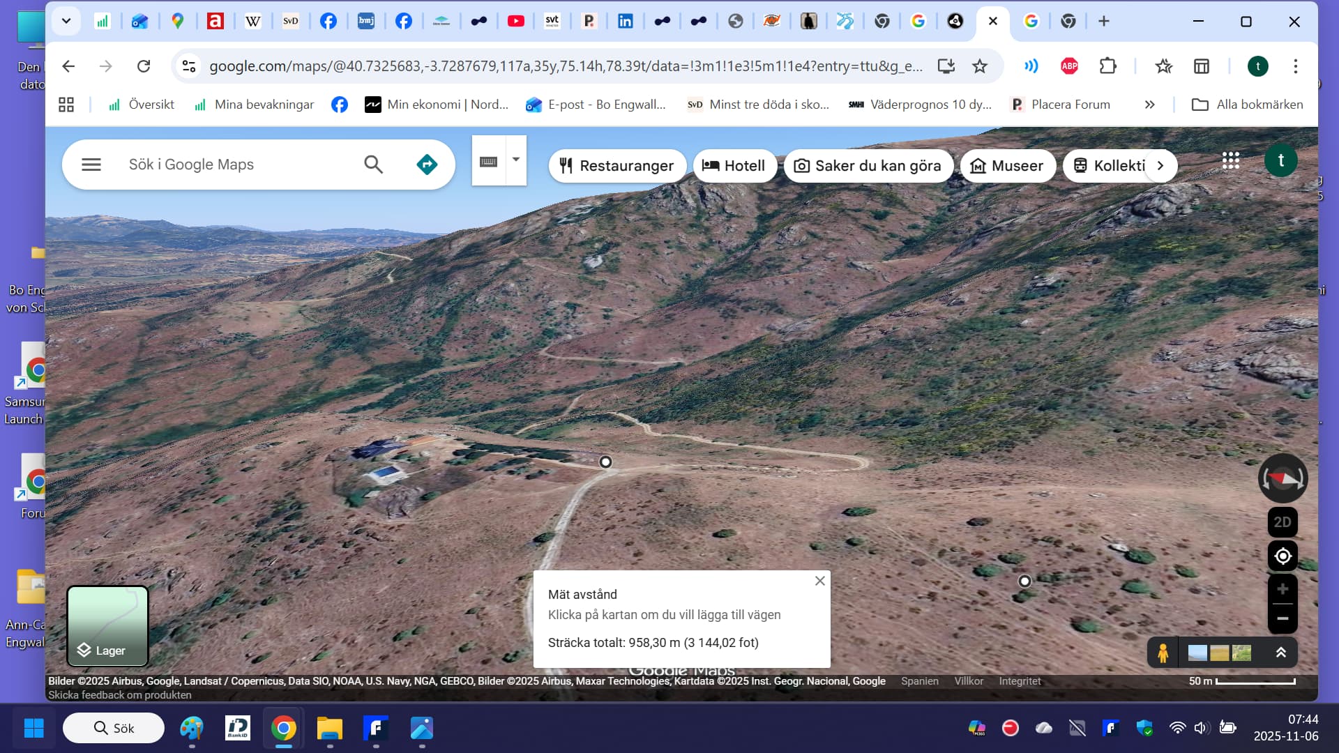
About Cerro de San Pedro ITSELF I have now consulted google maps terrain site with altitudes and it seems the elevation for the camino by foot FROM the aparcamiento is around 380 meters (from around 1020 to 1400 m and it is close to 2.0 kilometers, implying near 19 % STEEP ![]() I know from my running subidas in Spain THAT IS STEEP not possible to run if you are not extremely good at it.
I know from my running subidas in Spain THAT IS STEEP not possible to run if you are not extremely good at it.
And I would probably not even dare to go slowly downhill if my calculation is correct…
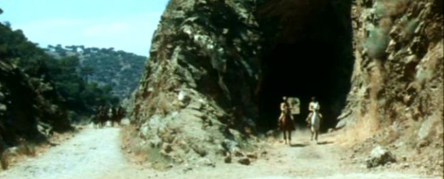
Well we have not planned to go upp that route today, but one of the other more to the north looking for THIS spot in Requiem For A Gringo (and if we can take a TAXI to the wished spot suggested regarding Logan’s house in the Hoyo de Manzanares thread where I have posted long edited 3 messages with “real time” research and deducting, Thus priority one is not my running workout today but get the location on a photo) ![]()
If I was more efficient, I could for example choose a location from another of my favorites Kill The Wicked! at Colmenar Viejo, when we have thursday to saturday AM left here befor taking the rapid train from Atocha station Madrid to Malaga and then taxi to my apartment in Fuengirola.
The “thing” is I cannot print such wished locations here and it would be unpractical to walk/run up the hills with the lap top and to drive exactly to the spot by car never is a likely possibility I guess.
That was more “realtime” reasoning ![]()
=============
It seems to be just around 1 kilometer up from the Aparcamiento and around 10 % steep, is OK running upwards but going down if there are stones I don’t like (due to old running injuries) but will try walk slowly down today. It would be my first location ever which maybe noone has “done” before ? Not so special with the famous Cerro San Pedro close by, but anyhow…
Going to ESPERANZA railroad station from Navajo Joe spring 2023 was still “magical” after it was found 3 years after my own near full time engagement ![]() since it was a well known mystery…
since it was a well known mystery…
4 Likes
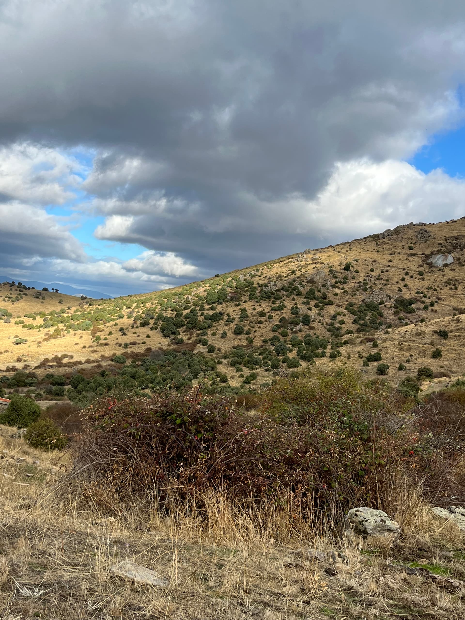
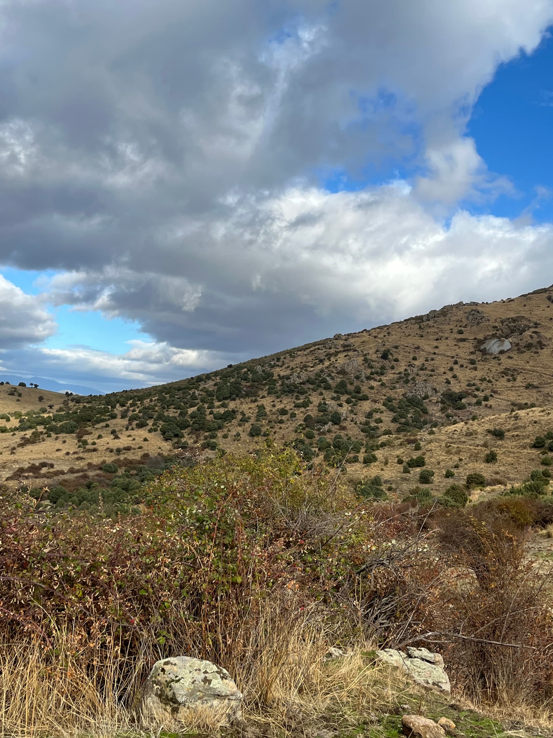
We found probably the right area, and a few stones do resemble some stones from the movie, but maybe not exactly correct angles.
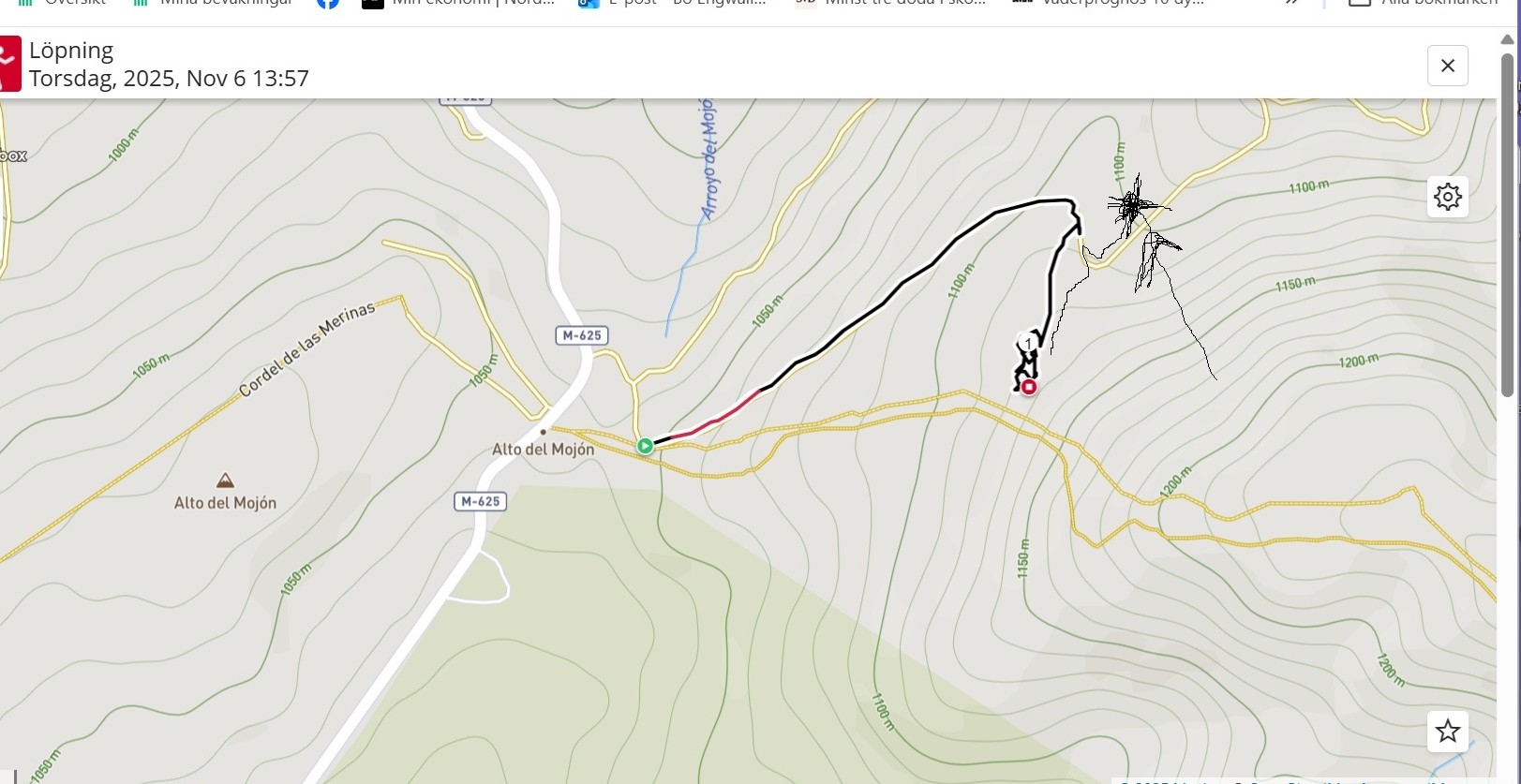
The area is to the northwest of the steep walking path to the top of Cerro San Pedro. To the south is the more regular well known area from many SWs and OK to travel on. We met a runner at the parking lot near the beginning of the steep climb.
But our area to north-northwest was someones huge private land with several vultures in the sky looking for pray, but with that attractive around 10 % steep asphalt road in fairly acceptable condition.
So I ran up that about 0.8 km to a house which looks fairly modern but no people seen there.
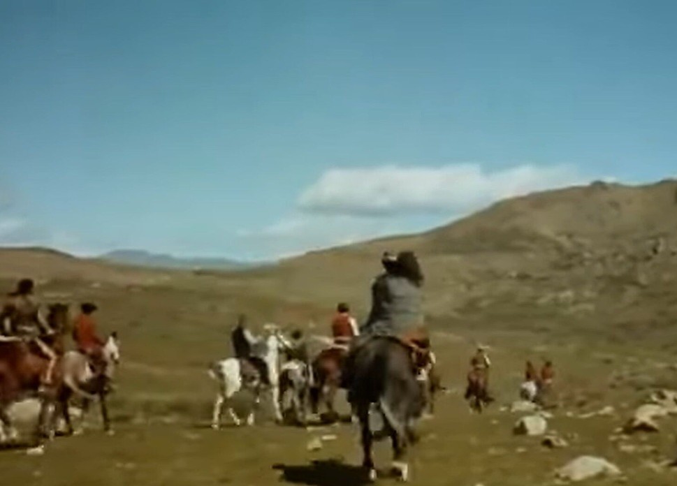
So the surroundings at the mountain side of the house must be the right location, but it was difficult to locate the right angle. Some stones appeared to be those to the right of the horses at around 3+ minutes of Requiem For A Gringo, possible hard to judge due to erosion.
It began to get a little rainy and cold so we decided to leave at 15.00 or so with a sample of pictures.
The stones/small rocks were observed to have certain feutures that both my wife and I believe could match (too many details match), but you cannot judge it easily from these pictures of course and screenshot’s “small” rocks are unaffected by 57 years of later erosion etc. You can observe distant cows in the SW scene downhill and the whole area at the location area yesterday were filled with cow shit ![]() - so it is another small contributing evidence in itself for the actual spot to have be found by me and my wife !
- so it is another small contributing evidence in itself for the actual spot to have be found by me and my wife !
We will look more closely at the several samples but not THAT many, since it was only the last 15 minutes or so we found the most promising spot and it was a forbidden area so we left and went down to the car…
I will try to get a better photo regarding the stones…etc later among our samples. We will not return to the area due to risk of being too unlawful…trespassing naughty naughty ![]()
The distance and the downhill in front and the slope to the right look more close on our photos than they actually were. First we tested the area up closer to the house but that didn’t fit well.
There are certain lines/mountain edges/ridges to the right which are slithly visible both on the film screenshot and our photos so it is certain we were in the right area, and some distance mouintains matched in contours although not so appearant below but there was a distinct mountain profile that matched closely,
I think the filming camera was slitghly tilted to the left compared to our more horisontal photos.
The same stones most to the right we think could be´seen on the two lowest pitcures, but the light and shadows make it difficult to compare them. The bushes behind the stones on our photos are probable not so old as the SW.
The running training logg in Polar Flow shows that I first chose to run up south of the house and looked for angles but it seemed to high up. Also my wife were looking more ay the north a slope downhill to the right/east of the house and the suggested location area of the horses/bandits 3+ minutes in the SW is marked on the Paint copy of the logg.
3 Likes
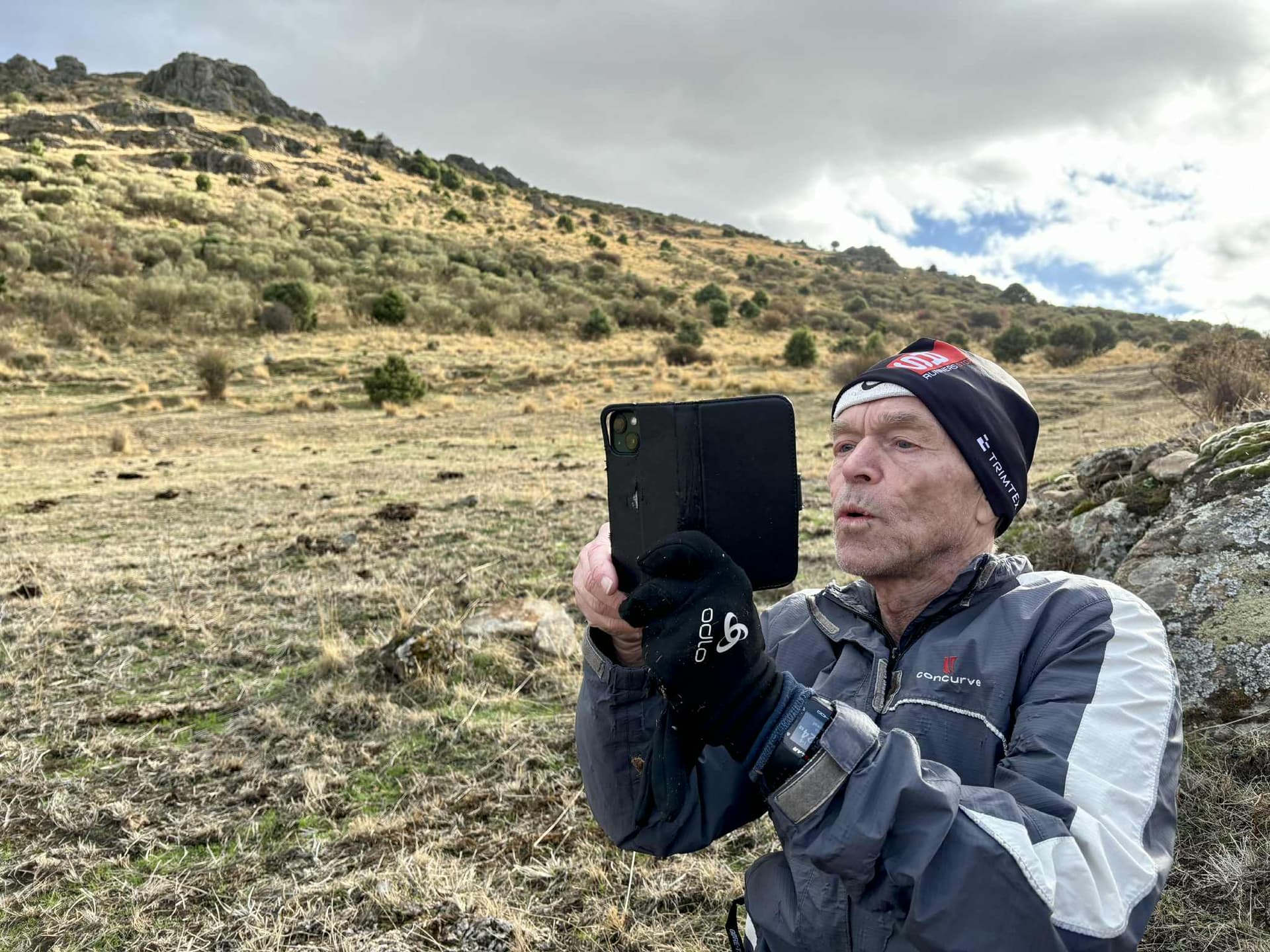
My wife’s photo of me having discovered the actual spot with the stones on the Northeast slope relative to the house reveals a bigger rocky area just behind me (which I just remembered this morning), and THAT could also be seen just a few seconds earlier in the SW which I also will post here soon ![]()
Here below you see behind myself that bigger rock - that fortunately my wife thus also revealed and documented. As you understand I had to run up to the location area with a lot of clothes on, in spite of the sunny 13+ C degrees forcast for Colmenar Viejo but maybe for the town itself at lower altitude around 8 km to the South…

Therefore I now claim me and my wife as our first unique location finding - but awful unlawful (a Carl Barks quote from the famous Disney Duck comic book comics story and art genious.)
2 Likes